Government Agencies
Check out these useful items


Daystar Hood Latch Upgrade Black Compatible with/Replacement for 2007-2018 Jeep Wrangler JK
Latest Blog Posts
- Jeep JK A/C Blend Door Actuator Replacement
- Jeep JK 3.6L V6 thermostat housing replacement
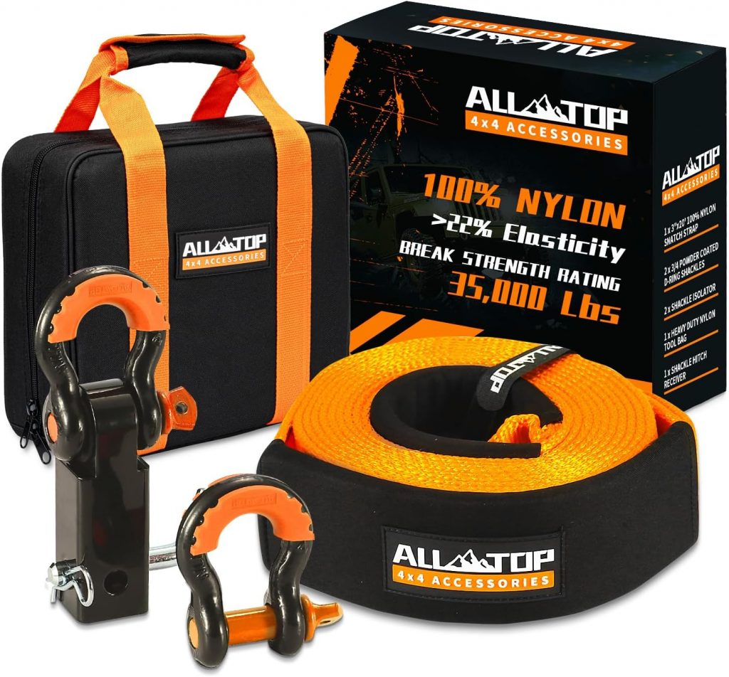
- My Jeep recovery gear
- Jeep JK 3.6L Pentastar Engine Oil Change
- Jeep JK Differential Fluid Change
- Jeep JK multi-function switch replacement
- Jeep Wrangler JK and JL Factory Bolt Sizes
- Jeep JK Jack Base by AEV
- Jeep JK Tailgate Tire Carrier by Rugged Ridge
- Jeep JK Dash A/C Vent Removal
Audiobook Recommendation

Arizona State Land Department – State land use permits
Public Lands Information Center – fire news and alerts for Arizona
Information, maps, permits, and guidebooks for planning adventures at western parks, forests, refuges and wildlife areas, historic sites, wilderness areas, lakes and reservoirs, wild rivers, and BLM lands. Info for Arizona.
Arizona Game & Fish Department – find Arizona OHV Trails and Places to Ride
US Forest Service – MODIS Active Fire Maps
The Active Fire Mapping Program is an operational, satellite-based fire detection and monitoring program managed by the USDA Forest Service Remote Sensing Applications Center (RSAC) located in Salt Lake City, Utah. The Active Fire Mapping program provides near real-time detection and characterization of wildland fire conditions in a geospatial context for the continental United States, Alaska, Hawaii and Canada. Detectable fire activity across all administrative ownerships in the United States and Canada are mapped and characterized by the program.

Guide To Arizona Backroads & 4-Wheel-Drive Trails
Arizona’s top-selling 4×4 guidebook. 100 of the best 4×4 trails in Arizona. Completely redone 3rd edition is more fun than ever. A new easy-open spiral binding features a wrap-around closure flap that doubles as a placeholder. Interior pages have been beefed up for extra durability.
