Check out these useful items


Daystar Hood Latch Upgrade Black Compatible with/Replacement for 2007-2018 Jeep Wrangler JK
Latest Blog Posts
- Jeep JK A/C Blend Door Actuator Replacement
- Jeep JK 3.6L V6 thermostat housing replacement
- My Jeep recovery gear
- Jeep JK 3.6L Pentastar Engine Oil Change
- Jeep JK Differential Fluid Change
- Jeep JK multi-function switch replacement
- Jeep Wrangler JK and JL Factory Bolt Sizes
- Jeep JK Jack Base by AEV
- Jeep JK Tailgate Tire Carrier by Rugged Ridge
- Jeep JK Dash A/C Vent Removal
Audiobook Recommendation

Location: Gold Canyon, Arizona
Difficulty Rating: Moderate/Difficult
Route Type: Out & Back
Length: 3.5 miles round trip
Usage: Moderate
Trailhead Elevation: 2,200 ft.
Elevation Gain: 990 ft.
Park Fee: Arizona State Land Department Recreational Permit and Parking Pass is required
Trailhead Amenities: parking only
Directions: From Phoenix take US 60 east all the way to Gold Canyon. Turn left on E Peralta Road. Follow E Peralta Road north east. After about a mile it turns into a dirt road. Follow the road for about 6 miles, the small parking lot is on the west side of the road.
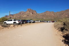
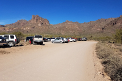
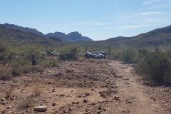
The hike begins at the Carney Springs Trailhead which really is a small pullout on the west side of Peralta Road.
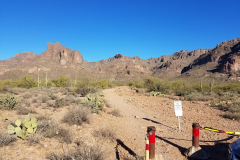
The parking area is very small and fills up quickly, especially on weekends. There are clear signs informing you that both the parking area and the first section of the trail are on State Land and permit is required. Many people choose to ignore that fact, however if you prefer to obey the laws and not risk a fine, you should obtain your yearly permit before heading out.
You can purchase the Arizona State Land Department Recreational Permit online.
Here is the Arizona State Land Department parcel viewer showing that the trailhead is in fact on State Trust land.
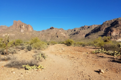
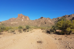
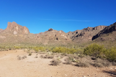
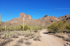
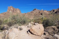
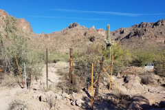
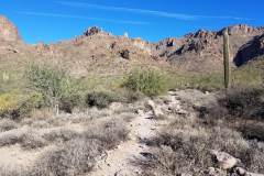
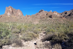
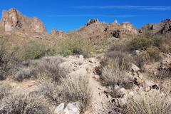
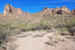
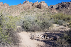
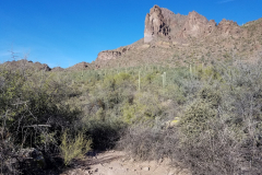
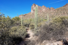
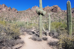
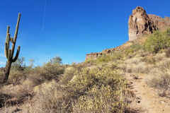
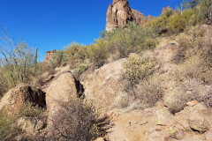
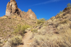
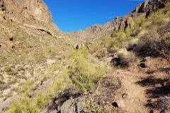
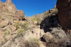
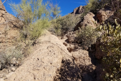
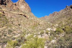
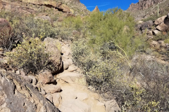
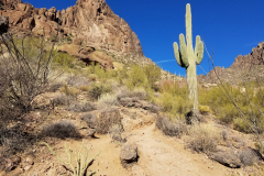
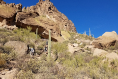
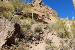
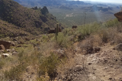
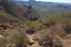
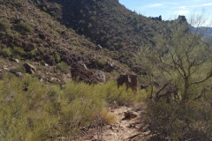
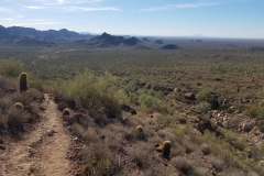
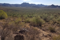
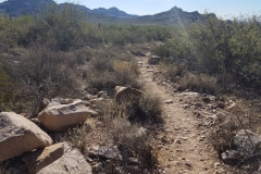
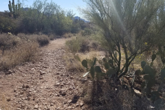
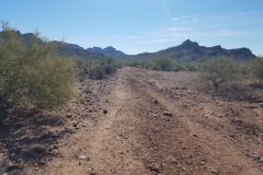
From the trailhead you will follow the old and wide dirt road for about a mile until you reach the wilderness fence line. Follow the trail through the fence and you’ll notice the trail becomes much more narrow and rocky and it starts to ascend gradually. The ascend gets steeper the closer you get to the end.
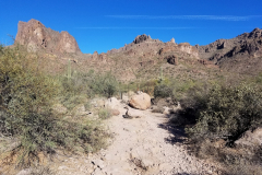
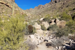
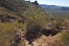
Wave Cave Trail doesn’t really have any official signs indicating the trail, however if you pay attention to natural signs in a form of cairns and lines of rocks on the ground you should not have any trouble finding your way through the lower portion of the trail. Second half of the trail is much more obvious.
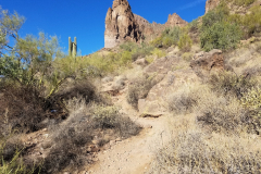
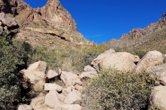
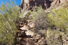
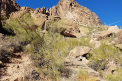
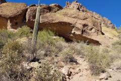
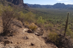
Depending on your skill level, this trail can be rated differently. I would generally describe it this way: first 1/3 of the trail is flat and easy, next 1/3 is moderate as you begin to climb and the trail is narrow with loose gravel and rocks in spots, the last 1/3 becomes challenging and might be too much for occasional hikers since you have to scramble through a rock garden and right before the cave there is a very steep climb. Take your time and you’ll be able to make it to the top, since the destination is definitely worth it!
Some may like to have gloves to assist with a few areas on both the ascend and descend.
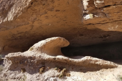
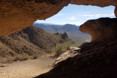
View from inside of the cave is worth the hike. Cave is cool and enjoyable once inside. Very fine dust on the floor of the cave can be bothersome if it’s a windy day. Take a snack break and few pictures, but be mindful of others trying to do the same.
If you’re ready for a next adventure and want to plan it right, check out some of these hiking guides – Arizona has so many awesome destinations to explore!

52 of the best day hikes in Arizona one for each weekend of the year, organized by seasons. Selected hikes ranging from easy walks in the woods to challenging journeys to Arizona s highest peaks and deepest canyons including the Grand Canyon. In-depth trail guides, descriptions, warnings and GPS coordinates are included with each hike, along with the magazine's classic fine photography.

It’s out there. Go find it! The Arizona Journey Guide by Jon Kramer and Julie Martinez is your resource to discovering the best of Arizona. Informative and entertaining, this guide leads you to 59 of the most amazing sites and scenery that the Grand Canyon State can offer: ancient ruins, secret canyons, hidden waterfalls, mysterious petroglyphs, and exotic places.

Stretching from Hidden Valley to the south to the Superstition Wilderness to the north, the book contains clear trail maps and profiles complemented by detailed descriptions and useful at-a-glance information. All roughly within an hour's drive of the Valley of the Sun, the trails highlighted in this updated edition begin right inside the city limits with popular Camelback Mountain.
Note: As an Amazon Associate I earn commission from qualifying purchases. It allows me to offer contents of this website free of charge to everyone.

