Check out these useful items


Daystar Hood Latch Upgrade Black Compatible with/Replacement for 2007-2018 Jeep Wrangler JK
Latest Blog Posts
- Jeep JK A/C Blend Door Actuator Replacement
- Jeep JK 3.6L V6 thermostat housing replacement
- My Jeep recovery gear
- Jeep JK 3.6L Pentastar Engine Oil Change
- Jeep JK Differential Fluid Change
- Jeep JK multi-function switch replacement
- Jeep Wrangler JK and JL Factory Bolt Sizes
- Jeep JK Jack Base by AEV
- Jeep JK Tailgate Tire Carrier by Rugged Ridge
- Jeep JK Dash A/C Vent Removal
Audiobook Recommendation

Location: Lost Dutchman State Park
Park Hours: Sunrise – 10:00 p.m. / Park is open year-round except Christmas Day
Difficulty Rating: Moderate
Route Type: Loop
Length: 2.5 miles
Usage: High
Trailhead Elevation: 2,080 ft.
Elevation Gain: 500 ft.
Park Fee: $7.00 per vehicle
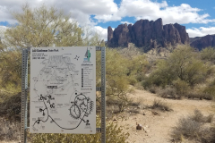
Trailhead Amenities: parking, restrooms, trail map and information
Directions: From central Phoenix, take I-10 east to US 60 east. Exit on Idaho Road, follow Idaho Road north to N Apache Trail, bear right onto N Apache Trail and follow it to the Lost Dutchman State Park entrance.
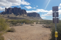
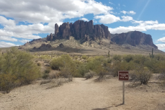
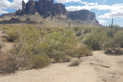
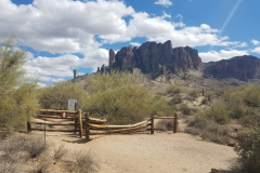
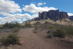
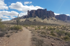
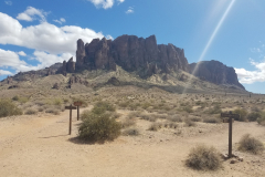
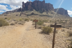
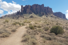
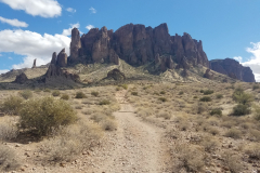
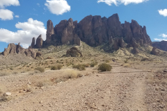
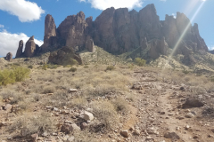
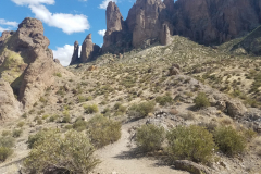
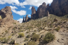
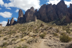
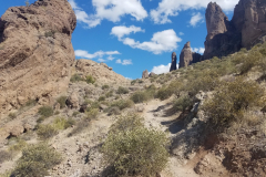
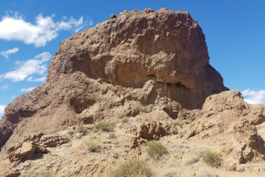
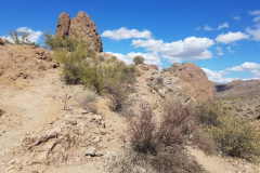
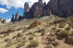
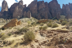
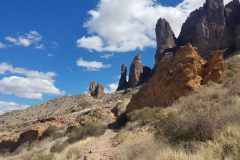
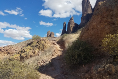
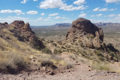
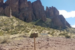
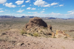
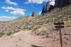
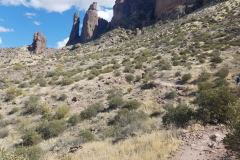
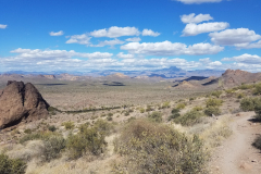
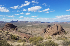
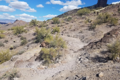
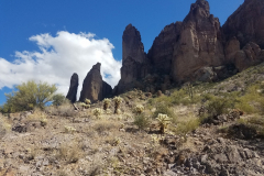
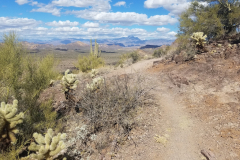
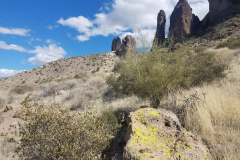
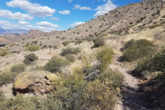
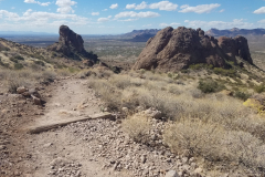
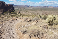
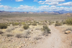
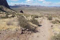
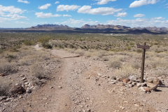
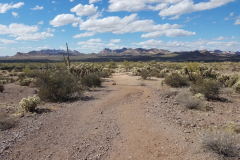
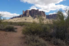
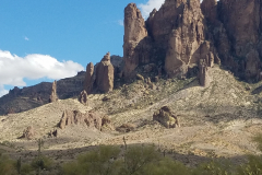
Treasure Loop Trail (#56 on the Lost Dutchman State Park map) is a moderate 2.5 mile long hike which can be completed in about an hour, but if you prefer you can spend several hours exploring some of the parks’s more interesting terrain and geological features. As with most of the desert trails, Treasure Loop Trail is amazing in the spring, particularly after heavy winter rains, due to its abundance of wildflowers. You will find that as you follow this trail, it has many interesting rock formations and there are few benches installed along the trail, if you wish to relax and enjoy the view.
Starting from the Saguaro Day Use area, Treasure Loop Trail rises gradually up the bajada to Jacob’s Crosscut Trail (0.4 miles). Continue straight on the Treasure Loop Trail and the well-groomed path quickly rises over 400′ to its intersection with the Prospector’s View Trail (1.1 miles).
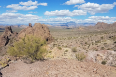
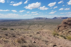
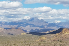
The trail then bends N-NE around Green Boulder, with views of the Four Peaks Wilderness (north) and Camelback Mountain (west) improving as you reach the loop’s crest (1.25 miles).
The trail descends down the north side of Lost Dutchman State Park before intersecting with Jacob’s Crosscut Trail again – continue straight (west) to complete the loop.
Treasure Loop Trail reaches the Cholla Day Use Area, from where you need to follow a narrow trail or paved road back to the Saguaro Day Use Area and parking lot (2.5 miles).
If you’re ready for a next adventure and want to plan it right, check out some of these hiking guides – Arizona has so many awesome destinations to explore!

52 of the best day hikes in Arizona one for each weekend of the year, organized by seasons. Selected hikes ranging from easy walks in the woods to challenging journeys to Arizona s highest peaks and deepest canyons including the Grand Canyon. In-depth trail guides, descriptions, warnings and GPS coordinates are included with each hike, along with the magazine's classic fine photography.

It’s out there. Go find it! The Arizona Journey Guide by Jon Kramer and Julie Martinez is your resource to discovering the best of Arizona. Informative and entertaining, this guide leads you to 59 of the most amazing sites and scenery that the Grand Canyon State can offer: ancient ruins, secret canyons, hidden waterfalls, mysterious petroglyphs, and exotic places.

Stretching from Hidden Valley to the south to the Superstition Wilderness to the north, the book contains clear trail maps and profiles complemented by detailed descriptions and useful at-a-glance information. All roughly within an hour's drive of the Valley of the Sun, the trails highlighted in this updated edition begin right inside the city limits with popular Camelback Mountain.
Note: As an Amazon Associate I earn commission from qualifying purchases. It allows me to offer contents of this website free of charge to everyone.

