Check out these useful items


Daystar Hood Latch Upgrade Black Compatible with/Replacement for 2007-2018 Jeep Wrangler JK
Latest Blog Posts
- Jeep JK A/C Blend Door Actuator Replacement
- Jeep JK 3.6L V6 thermostat housing replacement
- My Jeep recovery gear
- Jeep JK 3.6L Pentastar Engine Oil Change
- Jeep JK Differential Fluid Change
- Jeep JK multi-function switch replacement
- Jeep Wrangler JK and JL Factory Bolt Sizes
- Jeep JK Jack Base by AEV
- Jeep JK Tailgate Tire Carrier by Rugged Ridge
- Jeep JK Dash A/C Vent Removal
Audiobook Recommendation

Location: Lost Dutchman State Park
Park Hours: Sunrise – 10:00 p.m. / Park is open year-round except Christmas Day
Difficulty Rating: Moderate / Difficult
Route Type: Out & Back
Length: 4.0 miles round trip
Usage: High
Trailhead Elevation: 2,080 ft.
Elevation Gain: 1020 ft.
Park Fee: $7.00 per vehicle
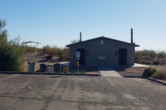
Trailhead Amenities: parking, restrooms, trail map and information
Directions: From central Phoenix, take I-10 east to US 60 east. Exit on Idaho Road, follow Idaho Road north to N Apache Trail, bear right onto N Apache Trail and follow it to the Lost Dutchman State Park entrance.
Siphon Draw is aptly named for its ability to “drain off” (i.e. siphon) water from a large area on Superstition Mountains. Just a light amount of precipitation will result in water being siphoned into the canyon draw and flow over the slick rock.
If you’re hiking Siphon Draw just after a rain, you will likely see waterfalls running through the basin, which is unique for southern Arizona hiking.
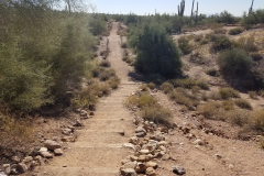
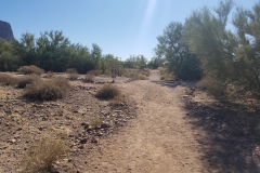
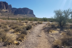
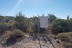
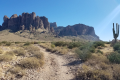
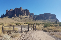
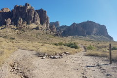
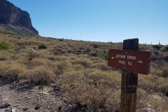
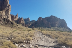
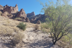
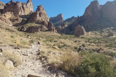
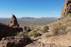
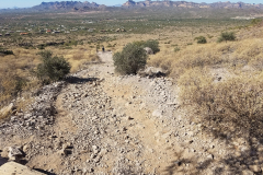
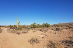
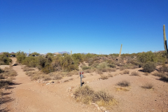
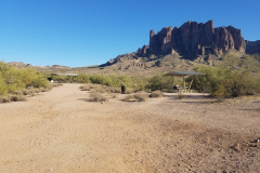
The hike begins at Lost Dutchman State Park in Apache Junction. Once inside the park, drive to the last parking area and look for a sign for the Siphon Draw Trailhead. The trail is clearly marked and easy to follow for the first mile as you begin a gradual ascent to the basin, which sits at about 3,100 ft. elevation.
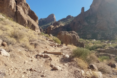
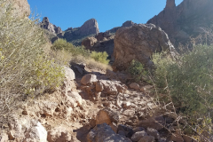
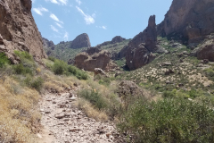
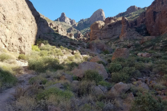
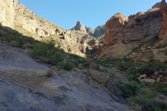
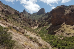
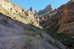
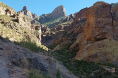
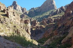
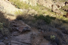
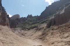
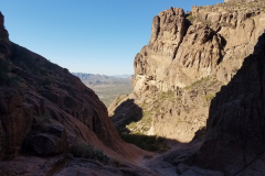
The Siphon Draw Trail rises through the bajada to the Jacob’s Crosscut Trail intersection (.85 miles : 2,215’). It continues on a steeper grade to the Superstition Wilderness Boundary at the foot of a high-walled gap in the mountain (1.35 miles : 2,550’). The trail heads into the gap on a markedly rugged path lined by thick brush to the base of a steep slickrock chute and The Basin (2.0 miles : 3,085’).
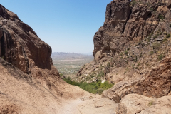
This shady slot offers great views across the bajada, and spire-topped walls of the canyon. A seasonal waterfall trickles into a corner of the chute, which can make slickrock hazardous under heavy flows.
Note that the trail is not maintained past the Basin, which is the stop point for this trail. Only experienced hikers should attempt the full hike to the Flatiron as the trail is steep and difficult past this point.
Whether you turn around at the rock Basin or make it to the Flatiron summit, you will not be disappointed by the ever changing rock formations, beautiful views, and rigorous workout! Lost Dutchman State Park offers both RV and tent camping if you’re planning a weekend getaway, and Apache Junction has a few restaurants and bars within 2-5 miles of the park entrance if you want to reward yourself after your hike.
If you’re ready for a next adventure and want to plan it right, check out some of these hiking guides – Arizona has so many awesome destinations to explore!

52 of the best day hikes in Arizona one for each weekend of the year, organized by seasons. Selected hikes ranging from easy walks in the woods to challenging journeys to Arizona s highest peaks and deepest canyons including the Grand Canyon. In-depth trail guides, descriptions, warnings and GPS coordinates are included with each hike, along with the magazine's classic fine photography.

It’s out there. Go find it! The Arizona Journey Guide by Jon Kramer and Julie Martinez is your resource to discovering the best of Arizona. Informative and entertaining, this guide leads you to 59 of the most amazing sites and scenery that the Grand Canyon State can offer: ancient ruins, secret canyons, hidden waterfalls, mysterious petroglyphs, and exotic places.

Stretching from Hidden Valley to the south to the Superstition Wilderness to the north, the book contains clear trail maps and profiles complemented by detailed descriptions and useful at-a-glance information. All roughly within an hour's drive of the Valley of the Sun, the trails highlighted in this updated edition begin right inside the city limits with popular Camelback Mountain.
Note: As an Amazon Associate I earn commission from qualifying purchases. It allows me to offer contents of this website free of charge to everyone.

