Check out these useful items


Daystar Hood Latch Upgrade Black Compatible with/Replacement for 2007-2018 Jeep Wrangler JK
Latest Blog Posts
- Jeep JK A/C Blend Door Actuator Replacement
- Jeep JK 3.6L V6 thermostat housing replacement
- My Jeep recovery gear
- Jeep JK 3.6L Pentastar Engine Oil Change
- Jeep JK Differential Fluid Change
- Jeep JK multi-function switch replacement
- Jeep Wrangler JK and JL Factory Bolt Sizes
- Jeep JK Jack Base by AEV
- Jeep JK Tailgate Tire Carrier by Rugged Ridge
- Jeep JK Dash A/C Vent Removal
Audiobook Recommendation

Location: Gold Canyon, Arizona
Difficulty Rating: Moderate
Route Type: Out & Back
Length: 5.0 miles round trip
Usage: Moderate
Trailhead Elevation: 2,400 ft.
Elevation Gain: 1,380 ft.
Park Fee: No fee
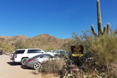
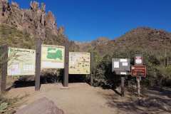
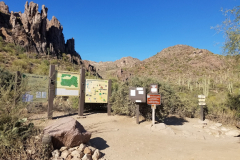
Trailhead Amenities: parking, restrooms (portable), trail map and information
Directions: From Phoenix take US 60 east all the way to Gold Canyon. Turn left on E Peralta Road. Follow E Peralta Road north east. After about a mile it turns into a dirt road. Follow the road for about 7 miles, all the way to the end where you’ll find the trailhead parking lot.
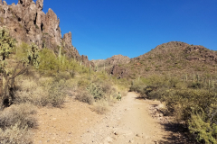
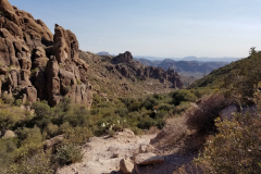
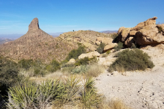
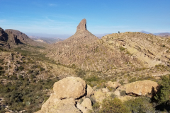
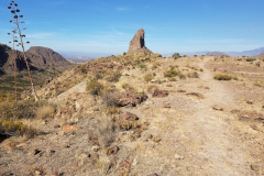
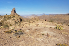
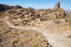
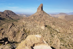
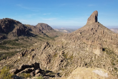
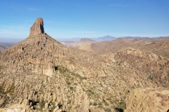
The Peralta Trail is a 5.0 miles out and back trail along the southwest side of the Superstition Wilderness. It passes through a diversely vegetated canyon capped by Weavers Needle, an iconic 4553′ spire that towers over the landscape.
It will take a total of about 3 hours for the entire hike.
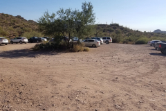
This hike begins at a popular trailhead which is equipped with restroom facilities. Parking fills up quickly!
The trail climbs 1360′ in just 2.5 miles to Fremont Saddle, which is where most hikers rest and turn around.
Visitors will enjoy varied terrain, terrific views from Fremont Saddle and useful insight to the canyons’ complex volcanic origin.
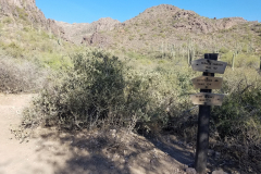
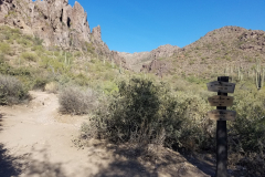
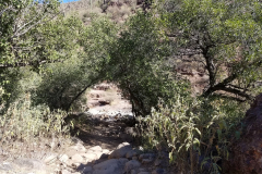
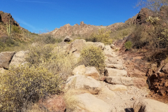
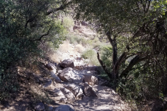
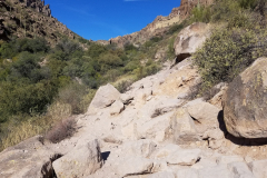
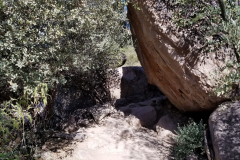
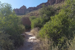
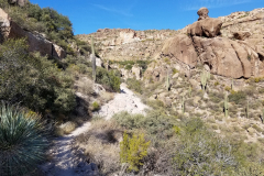
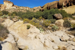
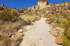
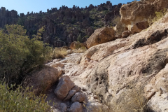
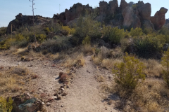
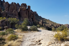
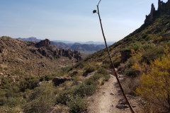
The trail begins at the mouth of Peralta Canyon and climbs steadily on a rugged, heavily vegetated path. Oak and mesquite envelop portions of the trail along the canyon’s seasonally flowing creek.
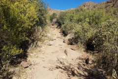
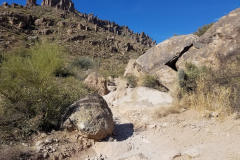
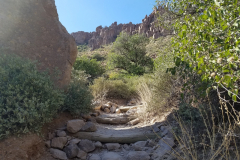
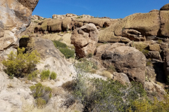
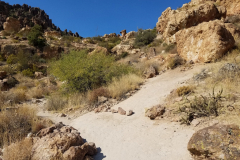
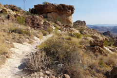
The trail gets pretty rugged in places where you have to scramble over rocks and you have to watch where you are stepping with the loose rocks.
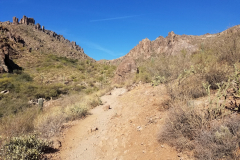
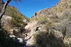
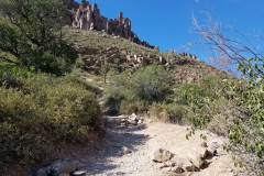
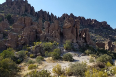
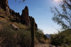
Brush recedes and grades steepen past 1 mile (2,902′) with a chance to study columns of volcanic rock needles that top the canyon walls.
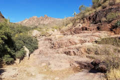
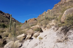
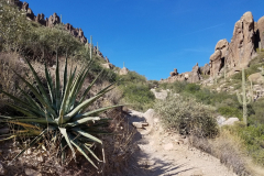
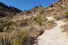
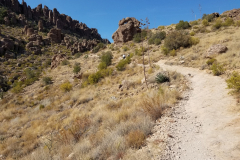
At 1.7 miles (3,428′) you’ll cross (right) over seasonal pools and resume a steep, shifting course through open rock and cacti gardens on the east side of the canyon. Note the prevalence of agave and contrasting light and dark rock in the upper canyon.
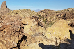
Light rock on this section is welded tuff, a composite of hot volcanic ash and cinder that fell back to earth and lithified. The dark needles above are remnants of magma columns that solidified under ground and were exposed through differential erosion.
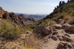
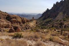
The hike up usually ends on Fremont Saddle (2.5 miles : 3,754′) with dramatic views north of Weavers Needle, Boulder Canyon and a labyrinth of washes, mesas, buttes and peaks in the backcountry. You can however follow the trail another 4 miles all the way to the Peralta – Dutchman Trail junction on the floor of Boulder Canyon.
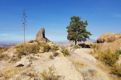
Once you reach the “Saddle”, you have an option to hike out an extra 0.5 miles to the “Lone Pine Tree”, visible to the east of the Needle. You will not regret it. The panoramic views from there are phenomenal.
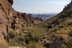
On the way back you’ll definitely enjoy the view of the canyon. If you’re hiking in the afternoon, most of the way down will be shaded, which makes the hike much more relaxing.
If you’re ready for a next adventure and want to plan it right, check out some of these hiking guides – Arizona has so many awesome destinations to explore!

52 of the best day hikes in Arizona one for each weekend of the year, organized by seasons. Selected hikes ranging from easy walks in the woods to challenging journeys to Arizona s highest peaks and deepest canyons including the Grand Canyon. In-depth trail guides, descriptions, warnings and GPS coordinates are included with each hike, along with the magazine's classic fine photography.

It’s out there. Go find it! The Arizona Journey Guide by Jon Kramer and Julie Martinez is your resource to discovering the best of Arizona. Informative and entertaining, this guide leads you to 59 of the most amazing sites and scenery that the Grand Canyon State can offer: ancient ruins, secret canyons, hidden waterfalls, mysterious petroglyphs, and exotic places.

Stretching from Hidden Valley to the south to the Superstition Wilderness to the north, the book contains clear trail maps and profiles complemented by detailed descriptions and useful at-a-glance information. All roughly within an hour's drive of the Valley of the Sun, the trails highlighted in this updated edition begin right inside the city limits with popular Camelback Mountain.
Note: As an Amazon Associate I earn commission from qualifying purchases. It allows me to offer contents of this website free of charge to everyone.

