Cattail Cove
Check out these useful items


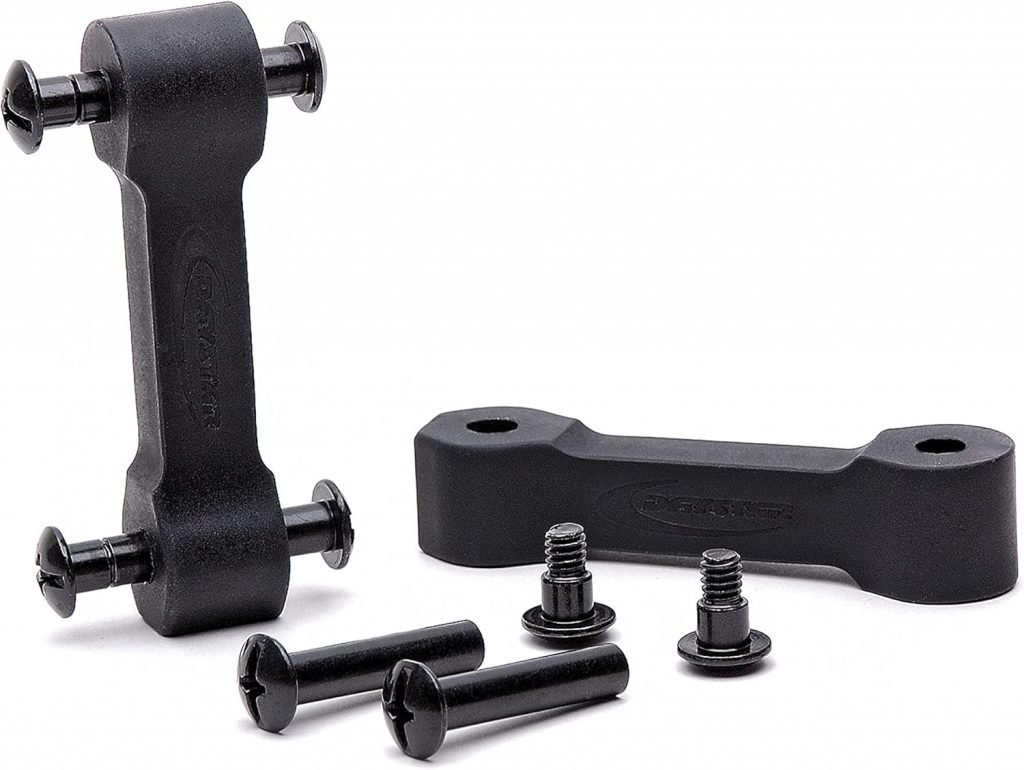
Daystar Hood Latch Upgrade Black Compatible with/Replacement for 2007-2018 Jeep Wrangler JK
Latest Blog Posts
- Jeep JK A/C Blend Door Actuator Replacement
- Jeep JK 3.6L V6 thermostat housing replacement
- My Jeep recovery gear
- Jeep JK 3.6L Pentastar Engine Oil Change
- Jeep JK Differential Fluid Change
- Jeep JK multi-function switch replacement
- Jeep Wrangler JK and JL Factory Bolt Sizes
- Jeep JK Jack Base by AEV
- Jeep JK Tailgate Tire Carrier by Rugged Ridge
- Jeep JK Dash A/C Vent Removal
Audiobook Recommendation

Location: About half way between Lake Havasu City and Parker on Hwy 95.
Difficulty: Moderate.
Description: Visit Rovey’s Needle, an interesting rock formation. Lunch at Cattail Cove next to the Bill Williams River. Mainly follows sandy wash bottoms with intermittent rocky sections. There are several difficult rock obstacles if you are looking for more challenge, but the worst places have bypasses. Tight, scratchy brush just before you get to Cattail Cove. Route-finding is confusing at times.
Time & Distance: It’s 8.8 miles to Cattail Cove counting the side trip to Rovey’s Needle and 8.2 miles back out. Allow about 4 hours.
Trail Conditions: Bureau of Land Management, Lake Havasu Field Office. Call (928) 505-1200.
Remember: trail conditions, fire restrictions, weather, and land ownership change constantly so everyone must take responsibility for themselves, both for their safety and complying with all laws. Please understand that means YOU.
Directions to the Trail: Turn east off Hwy 95 just north of mile marker 165. The area looks like a gravel pit under major power lines. It’s located adjacent to Cattail Cove State Park which is on the opposite side of Hwy 95.
View Cattail Cove in a larger map for even more DETAILS!
Get yourself and your rig ready for the trip: Make sure both you and your vehicle are prepared for your next adventure.
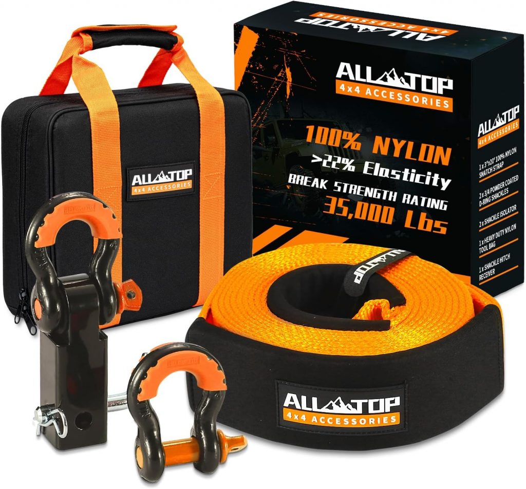
Before you venture out on your offroading trip you need to make sure you are prepared for emergencies. Even if nothing happens to you or your vehicle, you might come across someone who needs help. Short of having your full-on bug-out-bag with you, you should at least have some basic emergency items. It might seem obvious to some, but you should get yourself a tool box with appropriate tools and leather gloves, good first aid kit, fire extinguisher, set of jumper cables, emergency blankets (stored in heavy plastic bag – both are useful), flashlight, tow strap and some extra water. I would also suggest a recovery strap, a military folding shovel, heavy duty garbage bags, and a hand crank self powered weather radio. These items are not expensive, but they just might save your day.
Another thing you should definitely do before you leave is to save the number to Arizona 4×4 Off Road Recovery in case you find yourself in need of recovery in the middle of nowhere. Their number is (602) 697-8306.
If you’re ready for a next adventure and want to plan it right, check out some of these trail guides – Arizona has so many awesome destinations to explore!

Arizona’s top-selling 4×4 guidebook. 100 of the best 4×4 trails in Arizona. Completely redone 3rd edition is more fun than ever. A new easy-open spiral binding features a wrap-around closure flap that doubles as a placeholder. Interior pages have been beefed up for extra durability.

Precise directions, custom maps, and stunning color photos guide you to and through the heart of Arizona's backcountry. All trails are day trips from Phoenix. Routes for all skill levels. Learn where to unload and the best places to camp. GPS Waypoints. Great for UTVs and dirt bikes, too.

"The Grand Canyon State abounds in natural beauty and outdoor possibilities. Completely reworked with larger scale Landscape Maps and a comprehensive Recreation Guide, Benchmark's Arizona Road and Recreation Atlas is an invaluable resource for adventure planning and exploration. Landscape Maps 1:285,000. Recreation Maps 1:1,000,000.
Note: As an Amazon Associate I earn commission from qualifying purchases. It allows me to offer contents of this website free of charge to everyone.
